
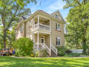
One of the last remaining farmhouses on the Assiniboine River. Built by George Caron and located on Lot 70 St. Charles Parish. Charles and George Caron came from Quebec in the 1880s and purchased 2400 acres of farmland.
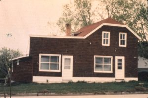
The first Municipal Council met in Patrick Kelly’s General Store, built in 1907. In addition to being a general store, it acted as the first post office for the area.
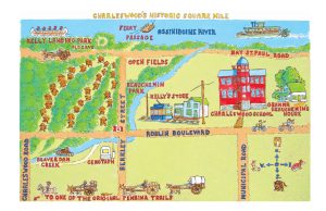
Many believe that Charleswood was named for Charles Kelly, who served on the first municipal council, or after the parish name St. Charles and the dense woodland synonymous with the area.
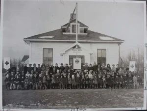
Established in May 1913. The original school building was destroyed by fire in 1916. Its replacement, a three-room school, burned down on 23 April, 1943. The six-room school built in its place, closed in June 2016.
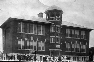
After 1914, the council met in Charleswood School, the present site of Beauchemin Park Place. The red brick school was built to replace a one room log school house.
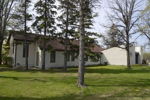
St Mary’s Anglican Church opened in 1922, with a capacity for 150 people. It was built at a cost of about $3,500.
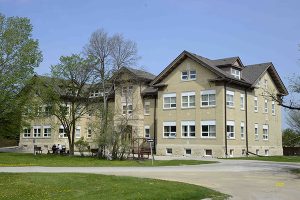
The home was for elderly members and their spouses, as well as orphaned children of deceased members. It provided accommodation for 70 people with additional undeveloped capacity for orphans in the attic. The facility was opened officially on 13 March 1923 at a ceremony attended by some 850 people.
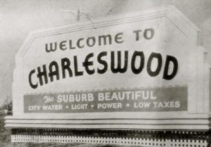
Charleswood was principally agricultural with dairy and poultry farms, market gardens and mink ranches. The Land Settlement Act brought in an influx of settlers.
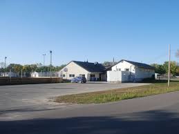
Roblin Park, a large residential area, is established under the Veterans Land Act.
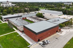
Served as a key high school for the rapidly growing suburb. The collegiate grew from 115 students to over 500 by 1967 requiring significant expansion before closing as a senior high in 1982.
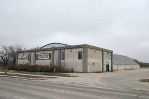
The present Curling Club, at 4000 Grant Avenue, was officially opened in early 1956.
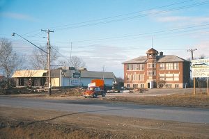
The Charleswood Legion purchased, and moved into the old Charleswood School building (also known as the “Old Red Brick School”), at 6003 Roblin Blvd.
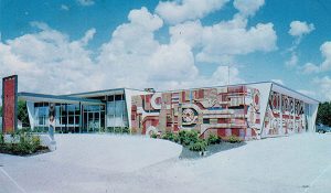
This 30-unit motel on Roblin Boulevard was the first such facility in Charleswood. Designed by draftsman Chris Kaufman and architect Lloyd Hugh Finch, and constructed by Berkley Construction, the building featured a colourful mural on its exterior by artist James Sidney Harold “Jim” Willer. Opened in September 1962, it was operated by brothers Edward James “Ted” Bloomer, Lloyd Bloomer, and Earl Sheldon Bloomer. The building was demolished in 2008.
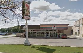
The first 7-11 in Charleswood was opened by Mayor Arthur Moug on October 27, 1969. The development of Westdale began with the Westdale Shopping Centre on Dale Boulevard in 1969. The construction of Westdale School followed in 1972.
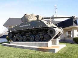
The tank was donated and moved to the Charleswood Legion by the Fort Garry Horse in 1970 and moved to its present location in 1993.
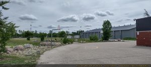
Located at 535 Oakdale Drive, the Arena officially opened in March 1971 as part of Manitoba's Centennial celebrations. Named after Charleswood Olympian Eric Coy, the facility was built to serve the recreational needs of the growing community for skating, hockey, and local events.
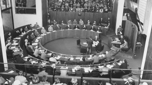
After 60 years as a separate municipality, Charleswood was amalgamated with the City of Winnipeg.
The Charleswood Historical Society (CHS) was formed in 1974 by longtime members of the community. The organization explores, preserves and shares the history of Charleswood. The CHS works with residents, community groups, and government, to help keep Charleswood a vibrant community.
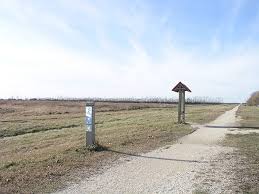
In April 1990, the Harte Trail was officially established, becoming a section of the Trans-Canada Trail in July 2000.
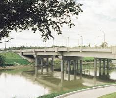
The Charleswood Bridge opens, connecting Charleswood with the St. James-Assiniboia area of Winnipeg.
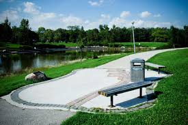
Charleswood Parkway was opened officially with a ribbon-cutting ceremony on 24 September 2002. The Parkway is flanked by a large park made from the former fairways.
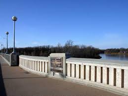
The Charleswood Bridge and Parkway were renamed after the late Charleswood city councillor Bill Clement in 2010.